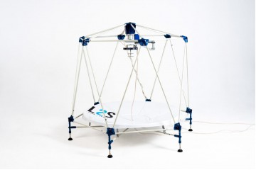
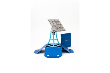
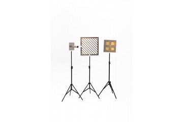
The constructor is designed for self-assembly by students. In this case, students make individual components according to the instructions. After assembly and configuration, it provides the ability to receive information in the L-band of frequencies from satellites of the NOAA, Metop, Meteor-M No. 2 series in real time.
| Information for tenders | |
| OKPD | 32.99.53.130 - Training demonstrative instruments, equipment and devices |
| What is in box | |
| Groups of themes in education materials | • Basic topics and concepts of physics, astronomy, geography, computer science, technology, mathematics; • Key features of technologies for receiving, processing and using satellite imagery data; • Basic principles of operation of ground-based hardware and software systems for receiving satellite data; • Fundamentals of engineering of terrestrial space systems and work with remote sensing data Earth sounding; • Fields of application of remote sensing data and the possibility of using satellite imagery to solve the applied problems; • Ability to work with geographic information systems (GIS) and geoportals. |
| Format of education materials | Online |
| Hardware and materials | The manufacture of all structural parts is possible on the basis of an educational institution with the necessary equipment and compliance with the recommendations of the manual for the designer. Everything, except for the manipulator, is assembled by schoolchildren at technology lessons or as part of extracurricular activities, circles, project activities, etc. |
| Box type | in a cardboard box |
| Education expirience | |
| Themes of lessons | • Basic topics and concepts of physics, astronomy, geography, computer science, technology, mathematics; • Key features of technologies for receiving, processing and using satellite imagery data; • Basic principles of operation of ground-based hardware and software systems for receiving satellite data; • Fundamentals of engineering of terrestrial space systems and work with remote sensing data Earth sounding; • Fields of application of remote sensing data and the possibility of using satellite imagery to solve the applied problems; • Ability to work with geographic information systems (GIS) and geoportals. |
| Engineering skills | • Applying the knowledge gained in the lessons of physics, computer science and mathematics to solve practical tasks in the course of work (calculations of the antenna design, satellite orbit parameters, solving problems about the relative position of the satellite and the station, etc.) • Application of knowledge gained in computer science lessons to work with software; • Mastering the basic skills of engineering design and apply the skills learned in technology lessons to create 3D models, work with structural materials and production equipment; • The ability to solve the set design problem to create the necessary details from design to production of the product; • Skills of self-assembly, adjustment and correct positioning of the engineering complex; • Calculation of the satellite flight schedule; • Real-time reception of data from satellites in the L-band frequency; • Processing of received data and analysis of received images; • Evaluation of the dynamics of processes and phenomena based on time series of satellite images. |
| Age of students | 14 years and older |
| Max. amount of students working with 1 kit | Designed to work in one group of 4-5 students. For 2 groups, you will need two constructors, and so on. |
Engineering designer "Link2Space/MOPS"
- Brand: Loretta
- Product Code: Lorett Link2Space/МОПС
- Availability: Pre-order (needs calculation)
Related Products
Engineering constructor «Link2Space»
Constructor for self-assembly by students of a station for receiving data from satellites of the Met..
Hardware-software complex "Planum"
Hardware-software complex "Planum" is a planar station for receiving space information for mobile pl..
Engineering constructor “Copter4Space”
Engineering constructor "Copter4Space" is designed to assemble a drone, install an irradiator with t..
Hardware-software complex "Rastoropsha -1.20.20"
The Rastoropsha hardware and software complex is a professional satellite information receiving stat..
Measuring stand for testing sheet materials for radio transparency and radio permeability
Purpose: measuring the antenna pattern, studying the polarization properties of the electromagnetic ..
Tags: Constructor, Robot, lorett

